Scafell Pike via the Corridor route and Great End
It’s been a crazy year. Everything turned upside down.
For reasons that are probably obvious, I’ve not been going out, not been hiking, and not been taking photos.
Last week for the first time in 4 months I took a trip away. It was really needed – thanks to Chris for inviting me. We went to Yorkshire for a week, hopping over to the Lake District for a day to hike Scafell Pike.
Route
Permalink to "Route"Having not hiked for some months, we of course chose one of the harder routes in to Scafell - via the corridor route. Not wanting to do a repeat journey back, we picked the Great End as a descent. See our journey on Strava.
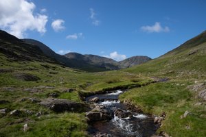
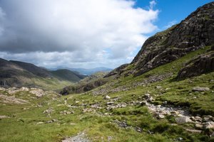
2020/07/19
1/640s at f/5.6, 24mm, ISO 100, Nikon D850
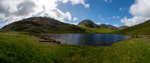
Styhead tarn ― 2020/07/19
1/800s at f/5.6, 24mm, ISO 100, Nikon D850
A few tents remained by Styhead tarn - clearly a popular spot for wild camping.
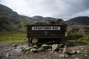
2020/07/19
1/1000s at f/3.5, 24mm, ISO 100, Nikon D850
More in: signs and straight-on
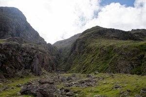
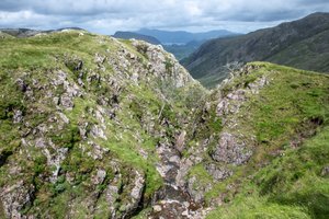
2020/07/19
1/400s at f/5.6, 38mm, ISO 100, Nikon D850
2020/07/19
1/800s at f/5.6, 24mm, ISO 100, Nikon D850
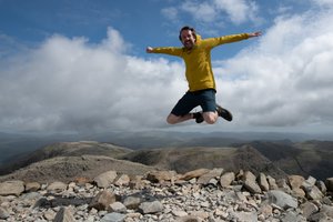
For the briefest of moments, I was the highest person in England.
Photo by Chris Natt.
Ed Horsford ― 2020/07/19
1/2000s at f/5.0, 20mm, ISO 100, Nikon D850
More in jumping
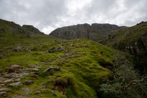
2020/07/19
1/500s at f/5.6, 24mm, ISO 100, Nikon D850
2020/07/19
1/800s at f/4.5, 24mm, ISO 100, Nikon D850