Tettegouche state park
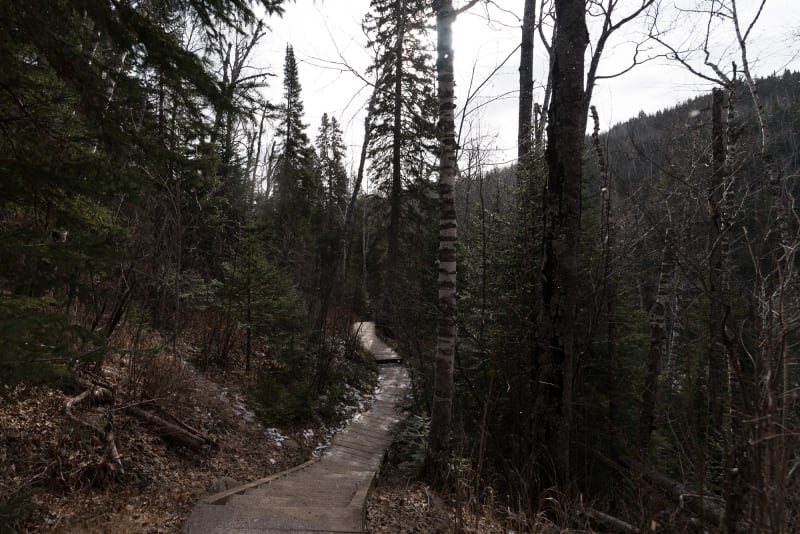
I spent a very enjoyable morning hiking in Tettegouche state park up to High Falls and back. The paths got progressively more icy, which was an interesting challenge - time I got some microspikes I think.

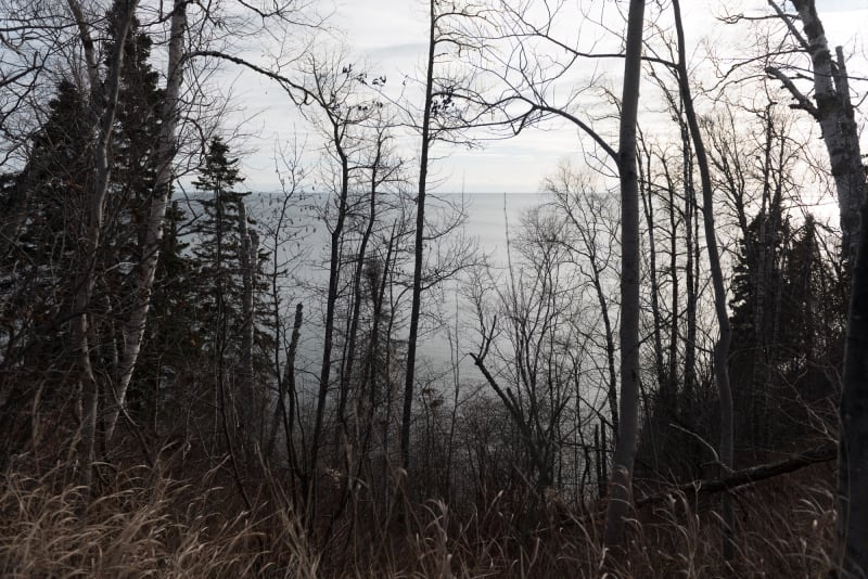
Lake Superior ― 2018/11/25
1/1500s at f/4.0, 70mm, ISO 100, Nikon D800

2018/11/25
1/1000s at f/4.0, 34mm, ISO 100, Nikon D800

2018/11/25
1/180s at f/4.0, 24mm, ISO 100, Nikon D800

2018/11/25
1/350s at f/4.8, 19mm, ISO 100, Nikon D800
More in from above

2018/11/25
1/350s at f/4.8, 15mm, ISO 100, Nikon D800
More in straight-on

2018/11/25
1/750s at f/4.8, 24mm, ISO 100, Nikon D800

2018/11/25
1/500s at f/3.3, 19mm, ISO 100, Nikon D800

2018/11/25
1/500s at f/6.7, 15mm, ISO 100, Nikon D800
High Falls were half frozen over - though I epxect it’ll be a few more weeks till they fully ice up. The falls are the highest waterfall fully in Minnesota.
2018/11/25
1/750s at f/4.0, 15mm, ISO 100, Nikon D800
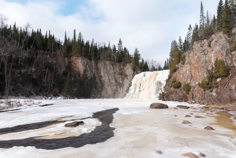
High Falls from below.
2018/11/25
1/500s at f/5.6, 24mm, ISO 100, Nikon D800
2018/11/25
1/350s at f/5.6, 32mm, ISO 100, Nikon D800
Lake Superior ― 2018/11/25
1/1500s at f/4.0, 24mm, ISO 100, Nikon D800

Lake Superior ― 2018/11/25
1/750s at f/5.6, 28mm, ISO 100, Nikon D800